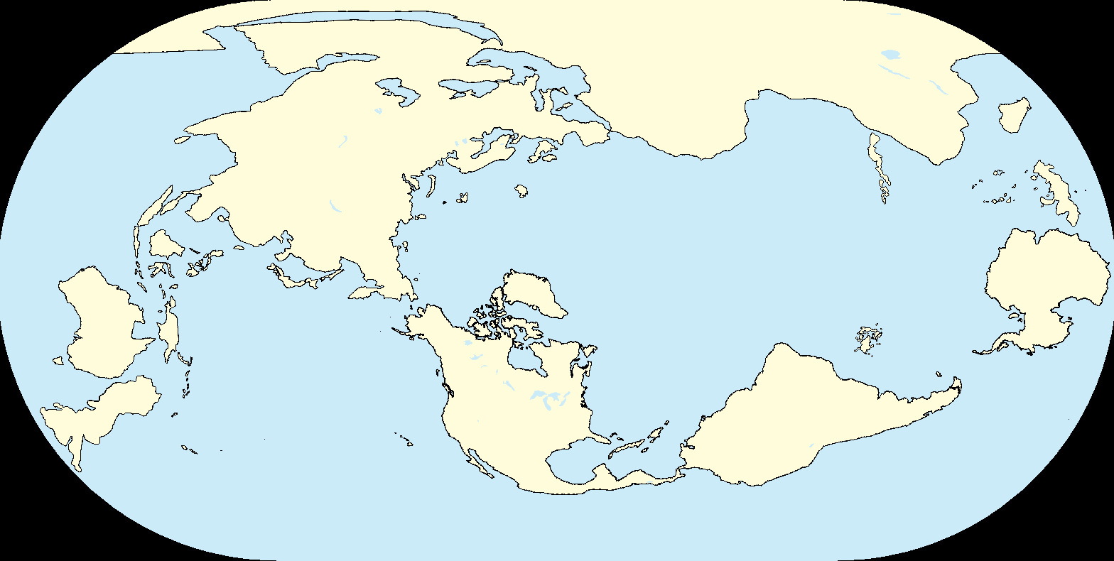
I imagine South America would be settled by Polynesians ITTL, at least the Tropical Savanna region between the two deserts. On another note, I'm interested in seeing what you two have got in store with those mapping projects.@Molotov Jack and @Halogen did this map as a fun exercise involving mirrored America as a spinoff of mutually upcoming mapping projects.
View attachment 890857
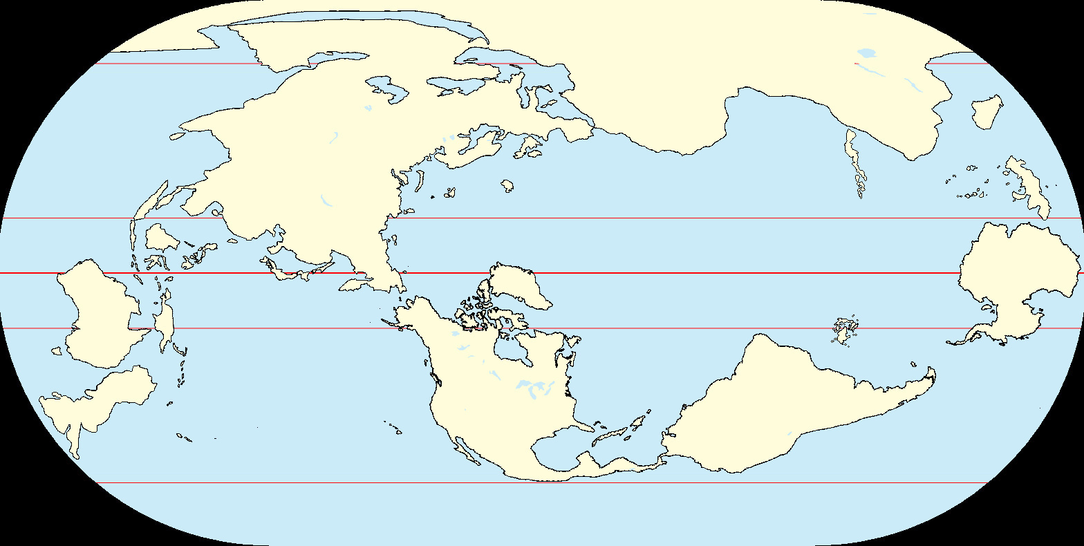
Granted, if we were to add a little more realism, the new Aleutians would probably blunt the mid-Atlantic current, resulting in northern Britain and mainland Europe being cooler or at least more continental than otl, but it does look like a fun TL to live in.
Last edited: